Sumesh KC

Graduate Researcher, Department of Infrastructure Engineering, The University of Melbourne

prof_pic.jpg

Desk No. 6.038 Level 6 Melbourne Connect, 700 Swanston Street

Carlton, VIC 3053

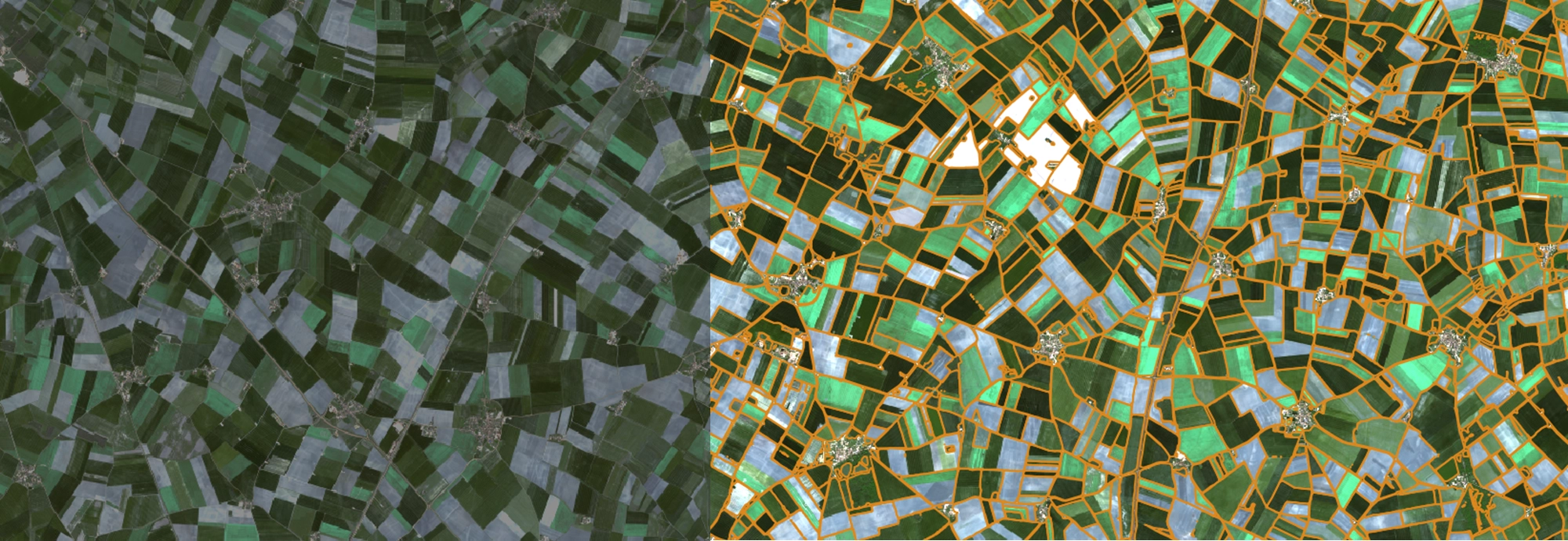
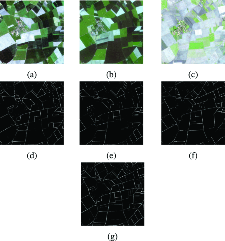
I am a results-oriented geospatial researcher with over six years of work experience in geomatics, surveying, geographic information systems (GIS), spatial data modelling and analysis, remote sensing data processing and analysis, UAV, photogrammetry, programming, machine learning, geospatial intelligence and cartography and data visualisation. With a Bachelor of Engineering in Geomatics (2015), a Master of Engineering in Remote Sensing and Geographic Information Systems (2019) and currently in the final year of my PhD in Geomatics at the University of Melbourne, I bring a combination of technical knowledge, advanced academic and research training, and hands-on experiences. My PhD research focuses on the development of automated approach to extract agricultural fields in complex agricultural landscape using remote sensing images (Sentinel-2, PlanetScope) and deep learning. I am expecting to complete my PhD in July 2025 at the earliest. I am passionate about leveraging my skills to contribute to the advancement of geospatial technologies and their applications in various fields.

Professional Attributes

  • Collaborative, approachable researcher able to build strong connections in a team.
  • Well-developed communicator able to maintain effective relationships with stakeholders.
  • Results-oriented with a focus on improving efficiency and productivity.
  • Adaptable and problem-solving mindset, able to handle challenges and generate new solutions.
  • Organised and efficient with excellent time management skills.
  • Positive, energetic, and composed, with a strong sense of integrity and trust.
  • Passionate about leveraging technology to develop practical solutions.

News

Latest Posts

Selected Publications

  1. A novel architecture for automated delineation of the agricultural fields using partial training data in remote sensing images
    Sumesh KC, Jagannath Aryal, and Dongryeol Ryu
    Computers and Electronics in Agriculture, 2025
  2. Enhanced multi-level features for very high resolution remote sensing scene classification
    Chiranjibi Sitaula, Sumesh KC, and Jagannath Aryal
    Neural Computing and Applications, 2024
  3. Automated Delineation of the Agricultural Fields using Multi-Task Deep Learning and Optical Satellite Imagery
    Sumesh KC, Jagannath Aryal, and Dongryeol Ryu
    IGARSS 2023 - 2023 IEEE International Geoscience and Remote Sensing Symposium, 2023
  4. Synergistic Use of Sentinel-1 and Sentinel-2 Images for in-Season Crop Type Classification Using Google Earth Engine and Machine Learning
    Sneha Sharma, Dongryeol Ryu, Sumesh KC, Sun-Gu Lee, and Seungtaek Jeong
    IGARSS 2023 - 2023 IEEE International Geoscience and Remote Sensing Symposium, 2023
  5. Near-infrared hyperspectral imaging combined with machine learning for physicochemical-based quality evaluation of durian pulp
    Sneha Sharma, Panmanas Sirisomboon, Sumesh KC, Anupun Terdwongworakul, Kittisak Phetpan, Tek Bahadur Kshetri, and Peerapong Sangwanangkul
    Postharvest Biology and Technology, 2023
  6. Rapid ripening stage classification and dry matter prediction of durian pulp using a pushbroom near infrared hyperspectral imaging system
    Sneha Sharma, Sumesh KC, and Panmanas Sirisomboon
    Measurement, 2022
  7. Integration of RGB-based vegetation index, crop surface model and object-based image analysis approach for sugarcane yield estimation using unmanned aerial vehicle
    Sumesh KC, Sarawut Ninsawat, and Jaturong Som-ard
    Computers and Electronics in Agriculture, 2021